 IEEE/ICACT20230128 Slide.05
[Big Slide]
Oral Presentation
| Virual Oral Presentation Slide by Slide |
|
IEEE/ICACT20230128 Slide.05
[Big Slide]
| Oral Presentation |
|
|
|
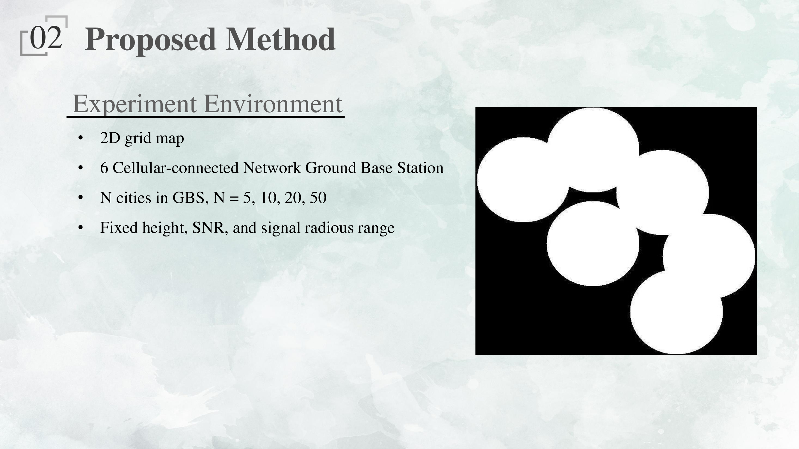
We first construct a grid map base on the signal coverage area as the Figure demonstrates. The white areas are the cellular network coverage area, and each area is tangent. UAVs have to fly over the signal coverage area from a start point to an endpoint. To maintain the cellular network, the UAV is not allowed to fly over the black areas. In our scenario, we assume that there are 6 cellular network ground base stations, and there are a total of N cities covered by the cellular network. | |
| [Go to Next Slide] |