 |
Adopt spatial embedding-based approach
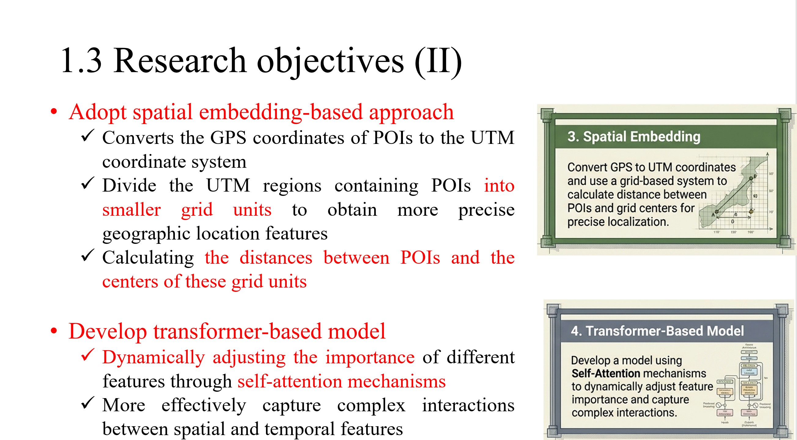
Converts the GPS coordinates of POIs to the UTM coordinate system
Divide the UTM regions containing POIs into smaller grid units to obtain more precise geographic location features
Calculating the distances between POIs and the centers of these grid units
Develop transformer-based model
Dynamically adjusting the importance of different features through self-attention mechanisms
More effectively capture complex interactions between spatial and temporal features
|
 IEEE/ICACT20260040 Slide.07
[Big Slide]