 |
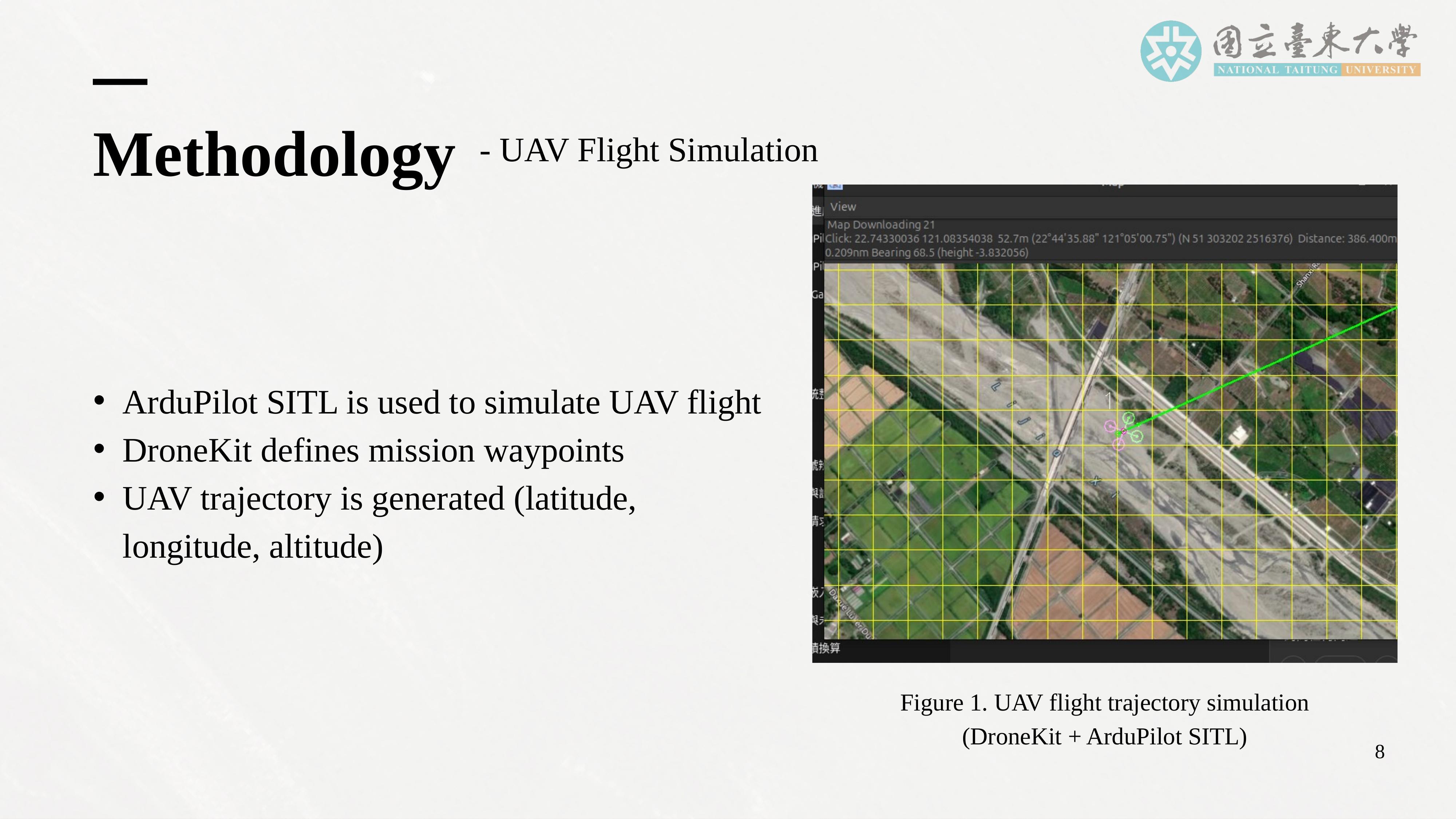
This slide explains how UAV flight is simulated in our framework. We use DroneKit to define UAV missions by specifying waypoints, altitudes, and flight paths. The UAV follows these predefined missions and generates a time series of latitude, longitude, and altitude coordinates.
In this study, we adopt a simplified two-dimensional rectangular patrol trajectory. The UAV flies around a fixed base station at a constant altitude of 100 meters. This design creates continuous distance variation between the UAV and the base station as the UAV moves along the rectangular path.
Although this trajectory is simplified, it serves an important purpose. It allows us to systematically evaluate the impact of distance on communication performance while maintaining a controlled and reproducible simulation environment. Moreover, the framework is designed to support future extensions to complex three-dimensional trajectories and multi-UAV scenarios. |
 IEEE/ICACT20260251 Slide.10
[Big Slide]