 |
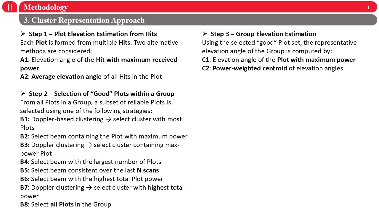
Next, I will explain the proposed cluster representation approach, which consists of three main steps. Step one is plot-level elevation estimation. Each plot is formed from multiple hits, and we consider two alternatives: first, using the elevation angle of the hit with maximum received power, and second, using the average elevation angle of all hits within the plot. Step two focuses on the selection of reliable, or ˇ°good,ˇ± plots within a group. From all plots in a group, a subset is selected using different strategies based on Doppler clustering, beam index, power level, temporal consistency, or combinations of these criteria. Step three is group-level elevation estimation. Using the selected good plots, the representative elevation angle of the group is computed either as the elevation angle of the plot with maximum power, or as a power-weighted centroid of elevation angles. This three-step framework allows us to systematically evaluate how different plot and group representation choices affect elevation accuracy and tracking performance. |
 IEEE/ICACT20260278 Slide.10
[Big Slide]